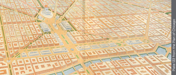
The proposed West Loop railway stations west of the Chicago River with the Civic Center beyond at Congress and Halsted.

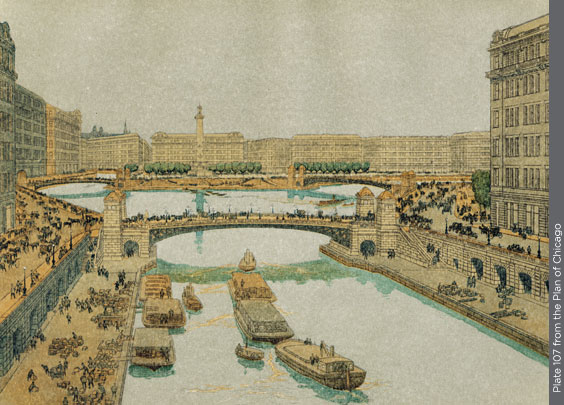
The Chicago River at Lake Street resembles the Seine in this Plan rendering, which shows two-level streets on both downtown riverbanks.

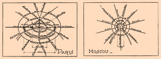
To illustrate his ideas on traffic circulation, Burnham included theoretical diagrams of major streets in European cities.
Principal points of the Plan of Chicago |
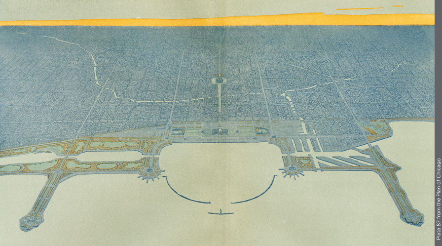
The improvement of the Lake Front. |
The creation of a system of highways outside the city. |
The improvement of railway terminals and the development of a complete traction system for both freight and passengers. |
The acquisition of an outer park system, and of parkway circuits. |
The systematic arrangement of the streets and avenues within the city in order to facilitate the movement to and from the business district. |
The development of centers of intellectual life and of civic administration, so related as to give coheren ce and unity to the city. |
| — Plan of Chicago, p. 121 |

