The Burnham Plan CentennialThe Plan of Chicago A Regional Legacy
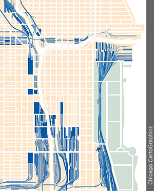
An illustration of Union Station site and an illustration of the post office

After construction began on Union Station, the Plan Commission recommended a new post office just to the north (left), but the federal government instead chose a site south of Van Buren Street. The completed Union Station buildings (right) occupied two blocks, and capped a huge complex of new tracks, freight houses, signal towers, viaducts, and bridges.

Railroads and Harbors

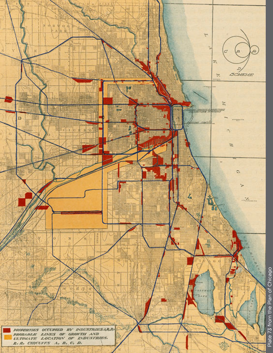
An illustration from the plan. Plate 73

The Plan proposes consolidating the region’s existing railroad tracks (blue) into a shared network of “circuits.” An enormous freight center (gold area) used by all railroads would be linked to downtown and South Chicago harbors, and to central area freight houses.
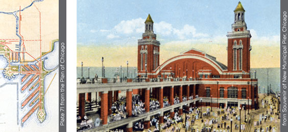
An illustration from the plan, plate 71 and a image of Navy Pier from a postcard

Burnham sketched recreational areas along one side of a new peninsula (above left), with docks on the other. Instead, Navy Pier included a ballroom and promenades at both ends (above right), with freight sheds in the middle.
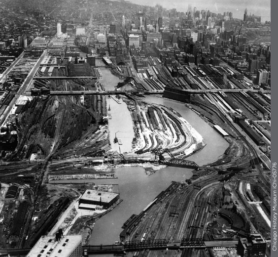
An aerial photograph of the south banch of the Chicago River

In the late 1920s, the South Branch of the Chicago River was relocated into a straightened channel near 16th Street.