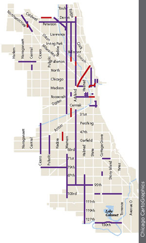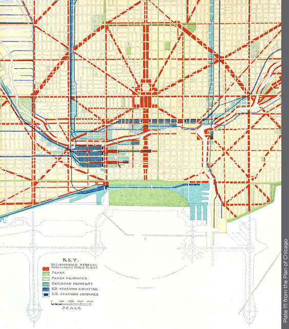
The Plan proposed pushing widened or new diagonal streets (red) through densely built neighborhoods surrounding the Loop. Relocated railroad facilities (dark blue) would allow the business district to expand.
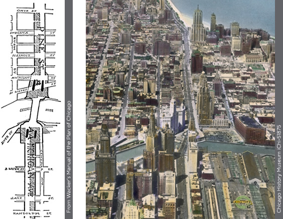
North Michigan Avenue (above right) became a grand new boulevard in the 1920s, flanked by new hotels and office buildings. It replaced a narrow residential street north of the river, requiring condemnation of the shaded areas (above left).
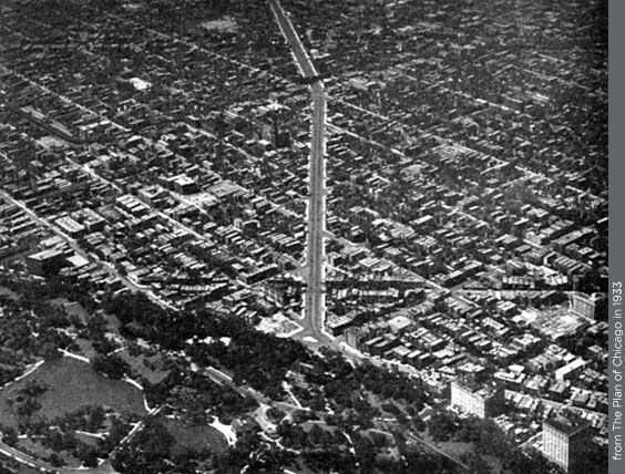
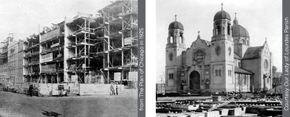
Ogden Avenue was extended 2.7 miles through the Old Town neighborhood in the 1920s (above); only 40 years later it was abandoned as unnecessary. Buildings on the east side of Michigan Avenue were cut back and refaced (below left), a technique that would be repeated hundreds of times as arterial streets were widened citywide. To allow widening of Ashland Avenue, Our Lady of Lourdes Church (below right) was moved across the street.
