
|
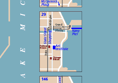
T R A N S P O R T A T I O N M A P S “How
to get from here to there” is the most common use for maps. We’ve
given a lot of thought to what techniques make it easier for users to
answer that question. |
 |
Since 1994, we’ve been subtly refining the design of the Chicago Transit Authority system map. A special Web-friendly version is online at CTA’s website. |
 |
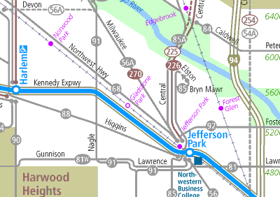
The only up-to-date, field-checked base map of Chicago was the starting point for this map showing bike lanes and other recommended streets for bicyclists. |
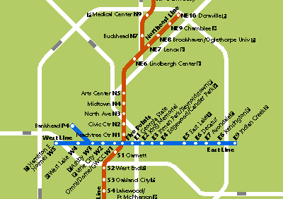 |
This diagrammatic representation of Atlanta’s rapid transit system was created for a newcomers guide to the city. |
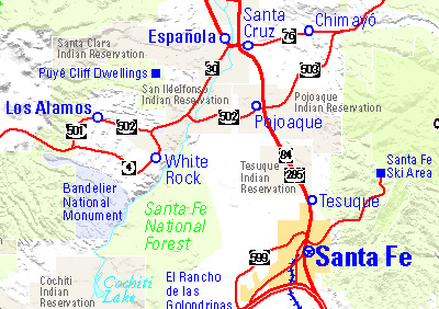 |
A map included in the Santa Fe, New Mexico, telephone directory shows the variety of daytrip destinations in Northern New Mexico. |
|
|
 |
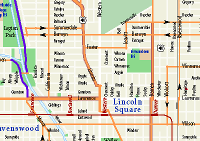
Chicago’s bus system can overwhelm the visitor and would obscure a tourist map, but showing selected routes individually clarifies the routes and reassures the potential transit user. |
|
|